
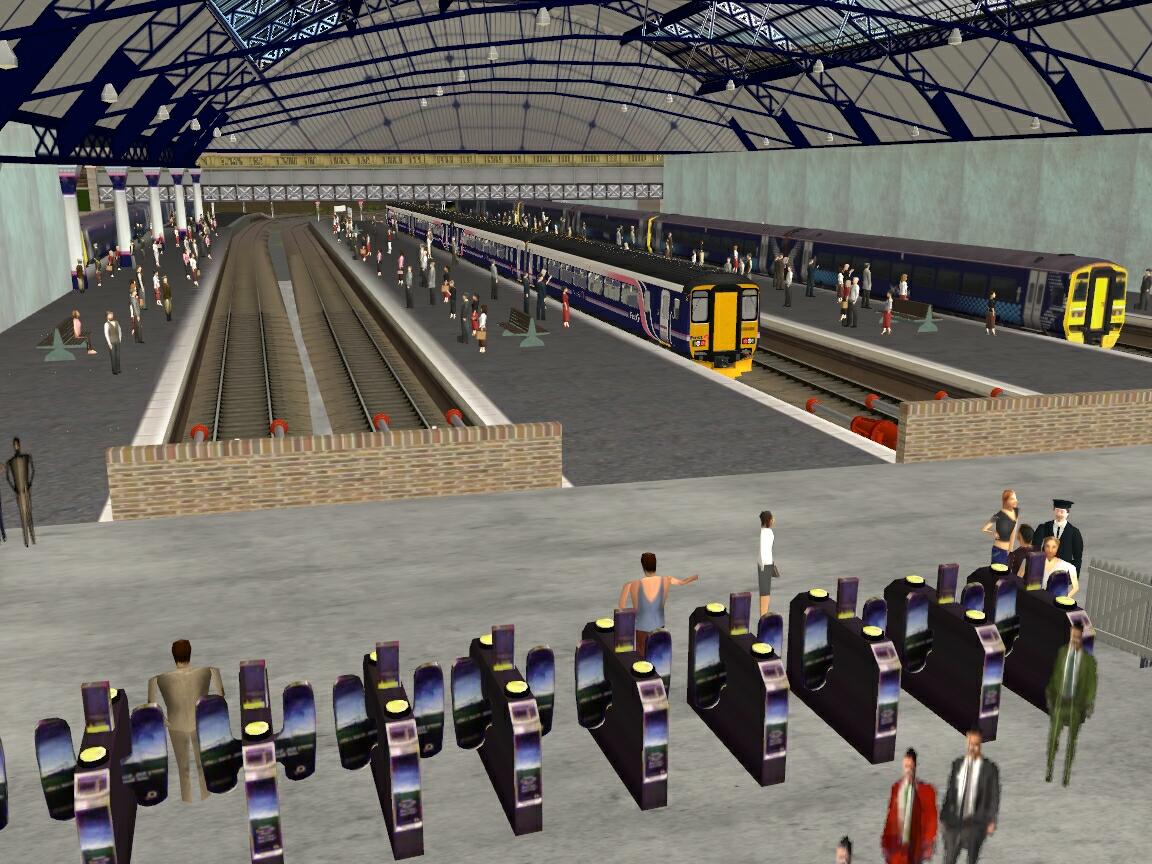
Glasgow Queen Street 2012
<kuid:44528:100062>
| Author: | twins |
| Kind: | map |
| Build: | 3.6 (TS12 and Trainz Simulator Mac) |
| Size: | 12.60MB |
| Uploaded: | 2025-10-14 |
| Downloads: |
4
-
+
|
Glasgow Queen Street 2012
Created by John & Peter (The Twins), using only objects which are available on the DLS, this is a representation of the electrified route from Helensburgh, Balloch, Dalmuir and Milngavie to Glasgow Queen Street Low Level and Argyle Street and the non-electrified section from Anniesland to Glasgow Queen Street High Level.
The route is designed as a driving experience and the disitances and terrain are accurate within the limits of Trainz.
Our thanks go to all those who have created the objects used by us. We appreciate all the time and effort put into their creation.
We hope that you enjoy driving this route and if you have any comments or questions, please contact us at auran03@2of.me.uk
- Glasgow Queen Street 2012
- config.txt 81.78KB
- mapfile.bmk 330 bytes
- mapfile.gnd 27.13MB
- mapfile.lyr 23 bytes
- mapfile.obs 5.12MB
- mapfile.trc 32 bytes
- mapfile.trk 1.88MB
- qstreet2.jpg 243.88KB
User photos
No one has uploaded a photo of this object yet.
Comments:
Sign in to post a comment