
SnC Carlisle Skipton
<kuid2:69379:100014:14>
| Author: | AndrewH |
| Kind: | map |
| Build: | 4.5 (Trainz A New Era SP2 ) |
| Size: | 92.25MB |
| Uploaded: | 2019-11-14 |
|
-
+
|
SnC Carlisle Skipton
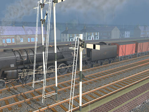
The route Comprises 87 miles of main line, a 6 mile branch and short sections of 10 connecting lines. The main line connects Skipton and Carlisle and was built to complete the third England to Scotland trunk route in 1876. It incorporates the whole of the Settle and Carlisle Railway and is extended southwards to Skipton, a major junction and rail centre.
At each end, this route follows river valleys, but the central section crosses the Northern Pennines, a desolate area of high moors intersected by deep valleys or dales. The engineering in this section is heavy, with many viaducts and tunnels.
Traffic on this route has always been of a long distance nature, the small population of the area traversed not providing the opportunity for much passenger or goods traffic.
The period depicted is the 1960s and at that time the railway was being slowly run down. There were only three daytime expresses in each direction and through goods trains mostly run at night. The local goods trains shunting the yards or collecting wagons from the lime works of the Ribble Valley were losing out to road traffic, as was the sparse passenger service.
This railway reached its lowest point in the 1980s when it was slated for complete closure. That this did not happen is very fortunate, not only for the tourists who travel the line for its visual beauty, but also for the rail operators who run frequent bulk load freights across the roof of England.
- SnC Carlisle Skipton
Asset <kuid2:69379:100014:14> is payware and cannot be uploaded to the Download Station.
Asset <kuid2:69379:100014:14> cannot be uploaded to the Download Station as it is flagged as payware


User photos
No one has uploaded a photo of this object yet.
Comments:
Sign in to post a comment